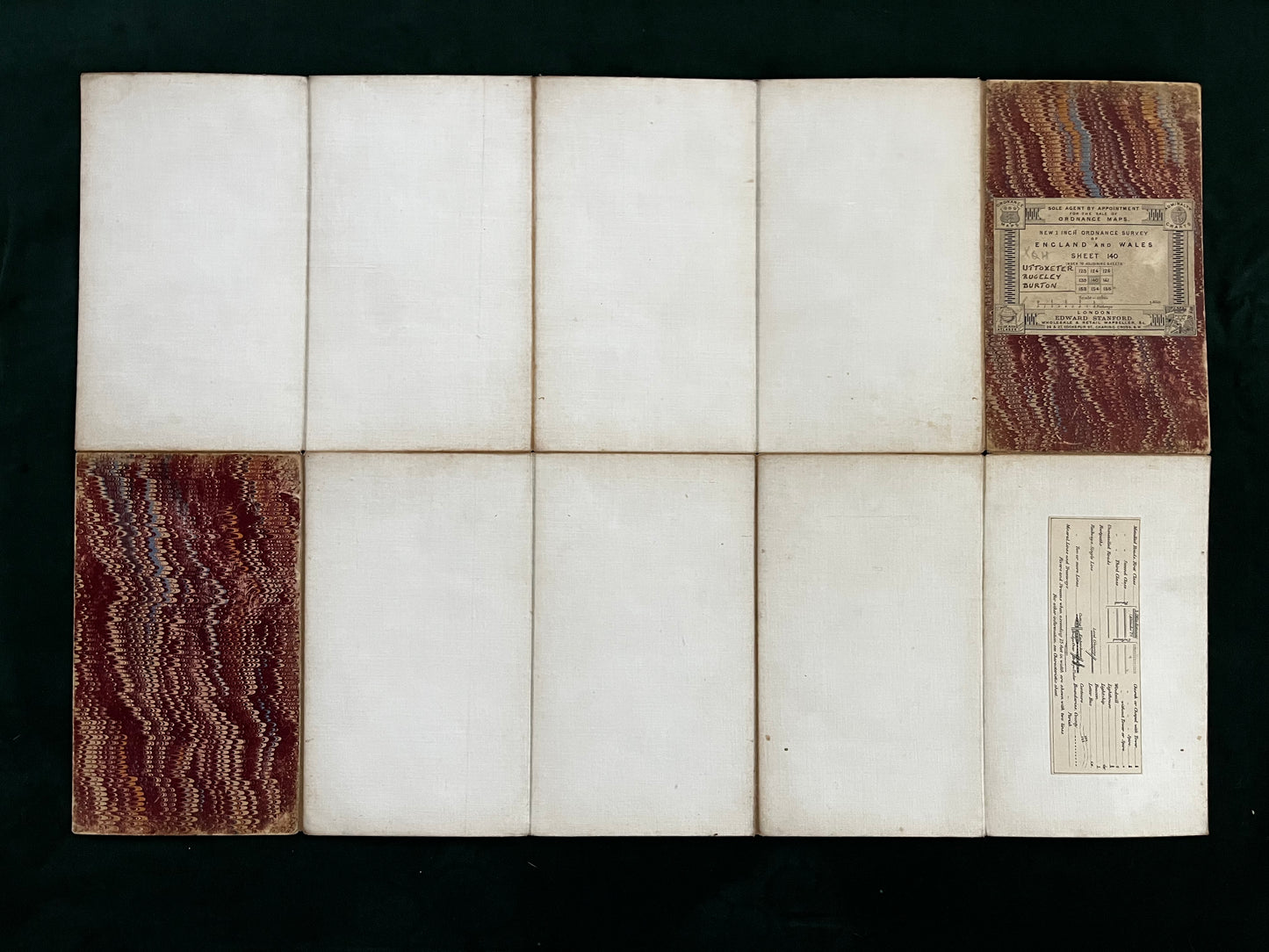
Ordnance Survey New Series one-inch-to-the-mile map of Uttoxeter, Rugeley and Burton (Sheet 140) 1890.
Regular price
£29.99
Sale price
£29.99
Regular price
£0.00
Unit price/ per
An original Ordnance Survey New Series one-inch-to-the-mile map, capturing late Victorian and early Edwardian Britain with detailed topographical precision of Uttoxeter, Rugeley and Burton (Sheet 140) @1890. Distributed by Edward Stanford, London. FREE UK postage.
A detailed example from the Ordnance Survey’s New Series of one-inch maps, issued in the late nineteenth and early twentieth centuries. These maps represent a significant phase in British cartography, bridging the earlier Victorian hachure style with the increasing use of contour lines for relief. Railways, roads, towns, industrial sites and rural features are shown with characteristic Ordnance Survey clarity, offering a valuable record of the landscape during a period of rapid industrial and social change. Often sold folded in marbled paper covers by agents such as Edward Stanford of London, surviving examples retain both practical and decorative appeal.
A desirable piece of historical cartography, suitable for collectors of regional material, transport history, or decorative display.